Francois Pioche
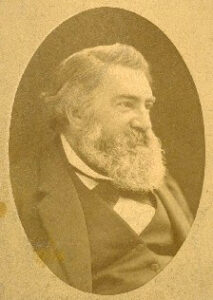
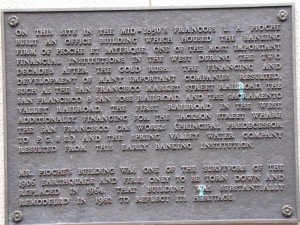
Parisian born in 1818, suave and cultured Francois Pioche was Secretary to the French Consul in Santiago, Chile, when he decided to join the Gold Rush to San Francisco in 1848 with Julius Bayerque. Once here, they became importers of wine and by the mid-1850s, they had established a reputable mercantile and banking house on the north side at 744 Montgomery Street, just off Portsmouth Square (Plaque at the site below). In 1851, he went to Paris to boost San Francisco and its future. Coming back with about six million francs to invest, he proceeded to channel the money into many successful enterprises, becoming one of primary builders of San Francisco. (Courtesy www.piochenevada.com.)
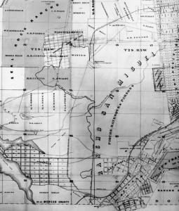
His capital constructed one of the first railroads in California, the Sacramento Valley Railroad connecting Placerville to Folsom in 1856, the San Francisco Market Street Railroad, and the San Francisco & San Jose Railroad, which connected downtown to the Rancho San Miguel lands (map below) that he bought by the acre and sold by the lot with his partner, Lester L. Robinson, to house the working class.
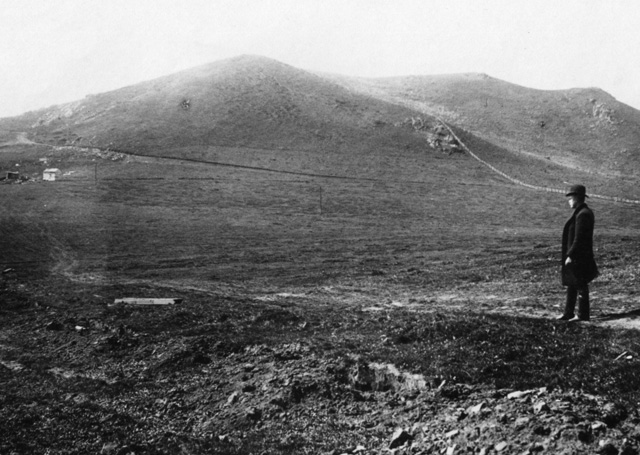
Continuing to expand his fortune and promote the growth of the City, Pioche bought the Spring Valley Water Company in and around Mt. Davidson, which was ultimately purchased by Mayor Rolph in 1930 for the City of San Francisco. View of Mt. Davidson in 1887 as it looked when Pioche owned it and before Adolph Sutro planted trees on it.
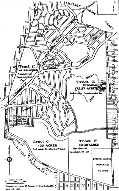
A noted bon vivant Pioche had an immense, square, mansard-roofed house at 806 Stockton Street where he gave lavish parties, almost weekly, for the men and women of importance in social, financial, and artistic circles. He is credited with getting the city off to its start as an epicures delight by bringing forty Parisian chefs and a boatload of French wines so San Franciscans unable to afford the Grand Tour could find out for themselves what they were missing. Pioche was on the Board of Directors for San Francisco’s French Hospital which developed the first private HMO in America. His will left two acres of land for the hospital and $5000 to erect a home for the elderly and poor. The map above shows the Spring Valley Water Company and Leland Stanford land west of Twin Peaks in 1914. The Stanford land crosses through Mount Davidson where the Stanford Heights Reservoir was constructed.(Courtesy Western Neighborhoods Project.)
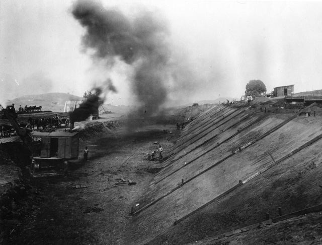
Looking east during construction of Stanford Heights Reservoir in 1923. At 618 feet above sea level it is the city’s second highest reservoir and holds 12.9 million gallons.
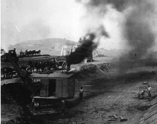
Still using horses in 1923 for this construction project. San Francisco’s water supply is a series of different pressure districts, which incorporate the Spring Valley and San Francisco City Water Works, reservoirs, and pipelines into the distribution system.
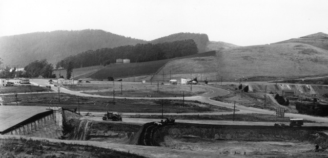
Looking north from reservoir still under construction in 1928 showing Portola Road and Leland Stanford’s property line holding back Adolph Sutro‘s trees next to Stanford’s water tanks.
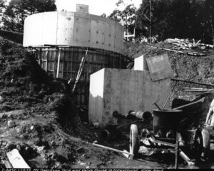
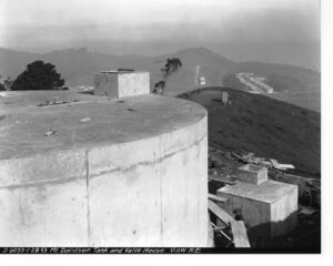
The Mount Davidson tank (below), the highest in the city, at 900 feet in elevation was subsequently constructed above the reservoir on top of Mt. Davidson in 1953 and holds 75,000 gallons.
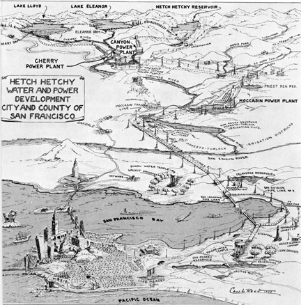
1955 Map of the Hetch-Hetchy water distribution system from the Sierra through Mount Davidson and Twin Peaks to the rest of San Francisco. (Author’s Collection.)


